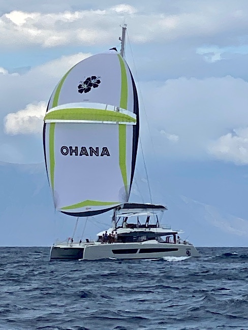
Tuesday August 31-Day 29, today we parted ways with s/v Ohana. They need to stay in Indonesia till the end of September as they are waiting for medication for their daughter to arrive. It was a pleasure getting to know them, hopefully we’ll meet up again in South Africa.
Departed our anchorage by 11:00am heading out to the Timor Sea then west towards Lombok.
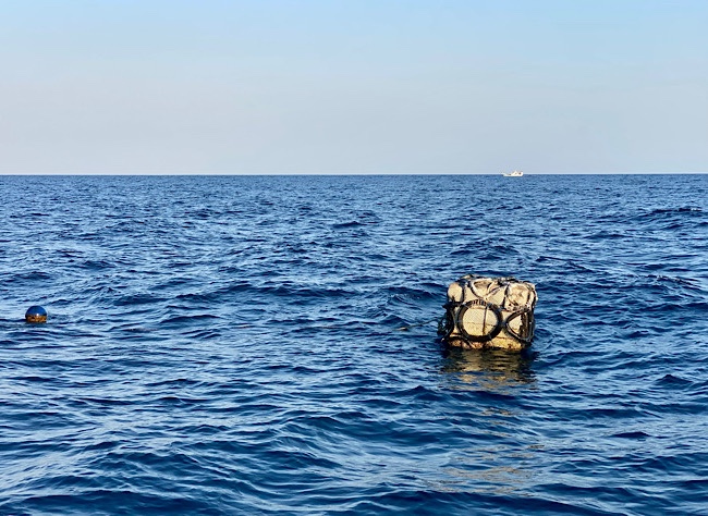
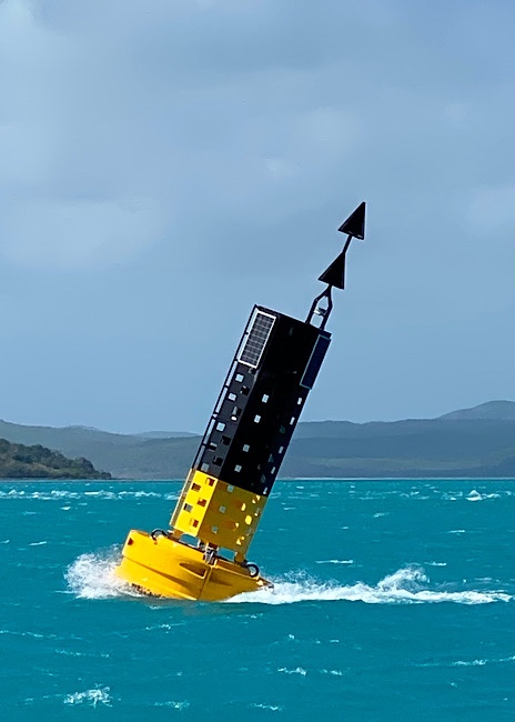
We were dodging these fishing boat buoy , then headed out to deeper water.
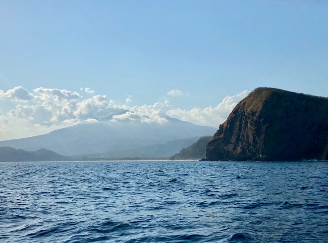
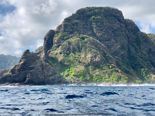
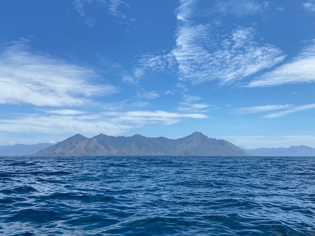
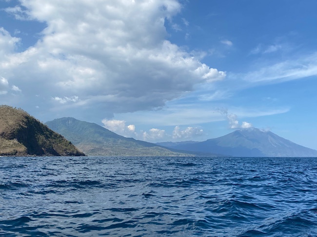
Flores Island
*Sourdough Notes* started a Belle loaf this morning, baked it at night during my watch. It’s nice and toasty down in the cabin!
Wednesday September 1-Day 30, Total nautical miles traveled 3543, 130 nautical miles traveled in the past 24 hours.
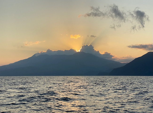
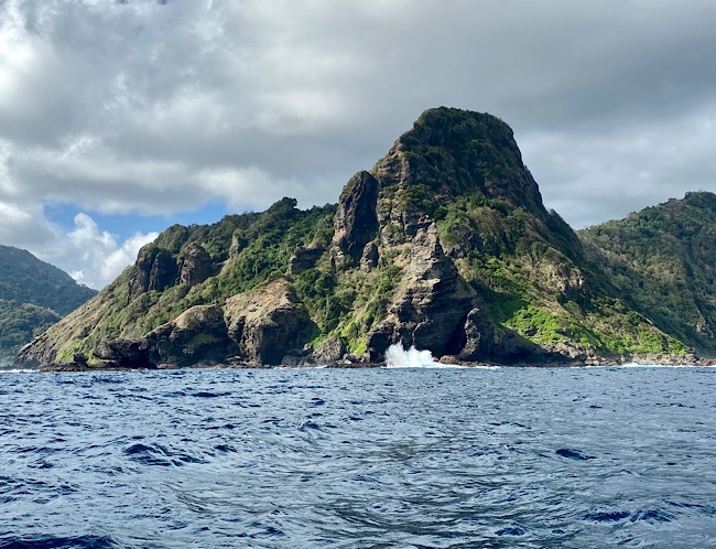
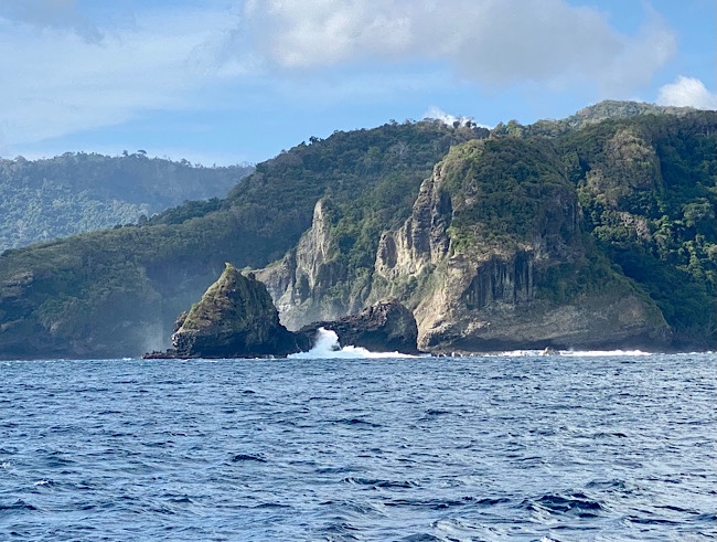
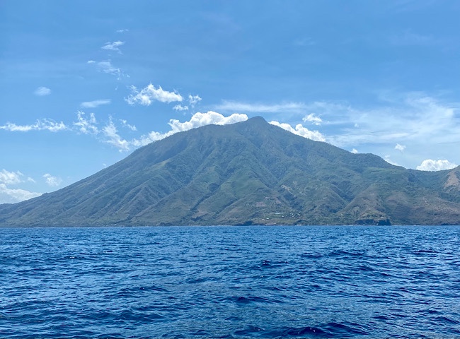
Ebulobo volcano, 6969ft.
Inierie volcano, 7365ft
There are 127 active volcanoes in Indonesia. We sailed by these two on Flores Island.
Thursday September 2-Day 31, Total nautical miles traveled 3802 , 129 nautical miles traveled in the past 24 hours.
Officially now sailing in the Indian Ocean!
Friday September 3-Day 32, Total nautical miles traveled 3954, 152 nautical miles traveled in the past 24 hours.
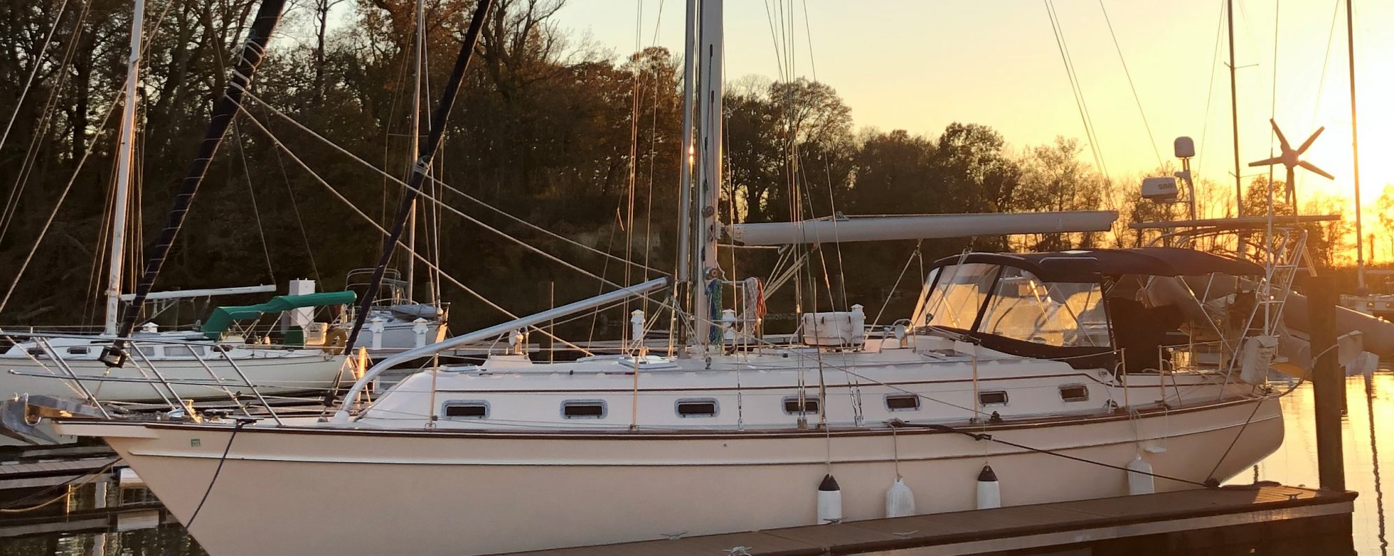
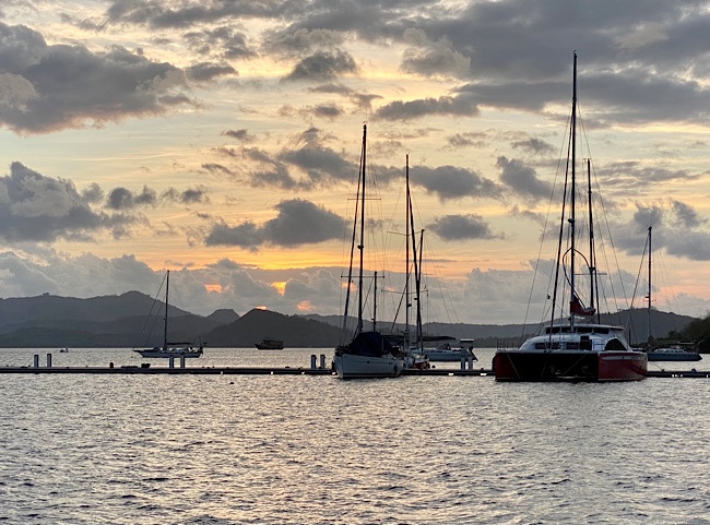
Sunset at Marina del Ray
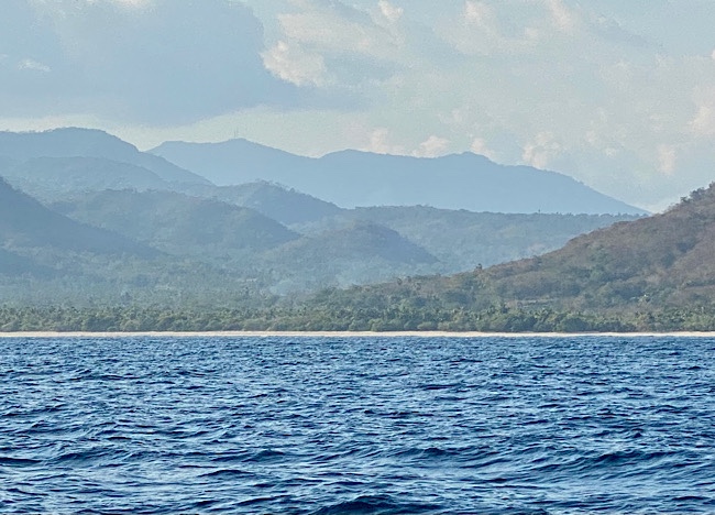
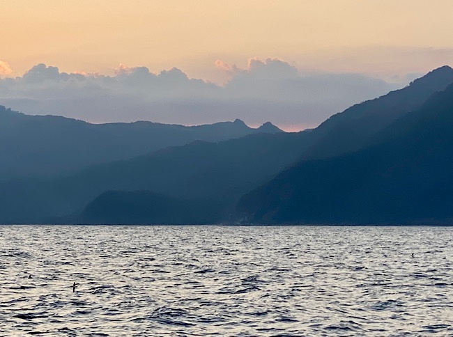
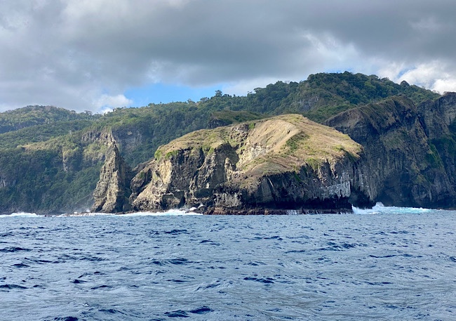
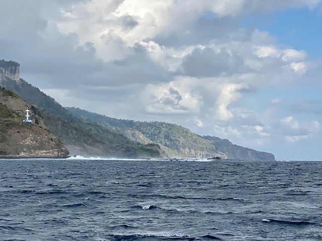
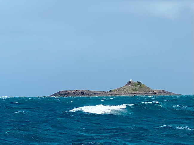
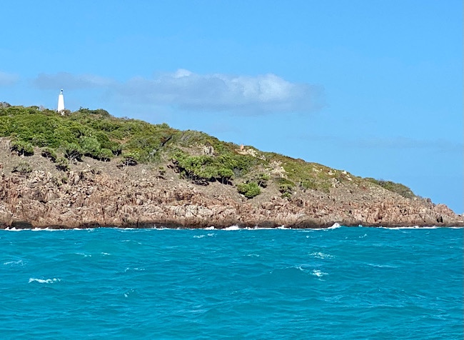
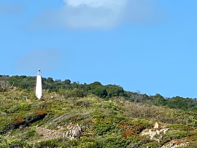
Coastline of the south west corner of Lombok.
6pm we picked up a mooring ball near the dock. As we sit here we hear the sounds of prayers in Indonesian over loud speakers, loudly echoing across bay, in this Muslim country.
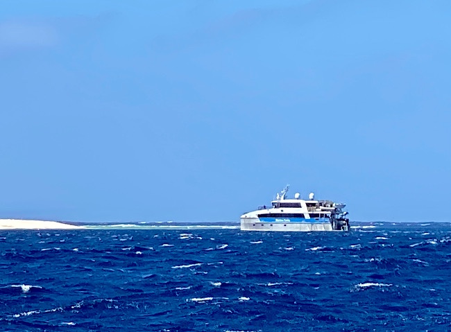
3999 nautical miles, 32 days, 7 nights we anchored, our passage from Denarau, Fiji to Marina Del Ray in Lombok, Indonesia.
Tuesday August 24-Day 22, Total nautical miles traveled 2783, 128 nautical miles traveled in the past 24 hours.
Lunch today, pineapple, apple, tangerine, peanut butter and crackers.
Dinner this night, No-Mayo Potato Salad with Herbs.
Wednesday August 25-Day 23, Happy 42nd Anniversary Dan❤️!
Total nautical miles traveled 2931, 148 nautical miles traveled in the past 24 hours.
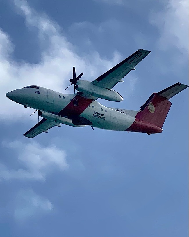
Another Australian Border Force flyby this morning. Crossed into the Timor Sea in the afternoon.
Thursday August 26-Day 24, Total nautical miles traveled 3082, 151 nautical miles traveled in the past 24 hours.
When provisioning in Fiji, we purchased 4 jars of “Americana” brand peanut butter that were the same shape with a red lid as “Jif”. Unfortunately it tastes nothing the same. It’s very sweet, little peanut flavor. Maybe we can barter 3 for something else.
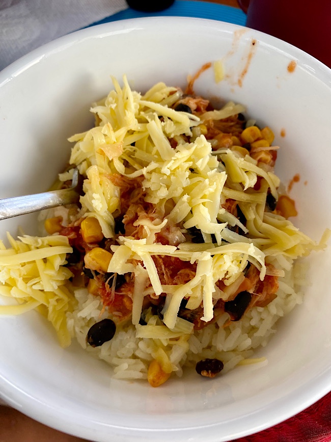
Dinner was Baja-Style Chicken Bowl. Salsa with black beans, corn and a can of shredded chicken, over rice, topped with cheese. With leftovers for another meal.
Sailing into the sunset, 19 second video to music .
Indonesian archipelago is the largest island group in the world. The number of islands varies from 14,752 (UN figure) to 18,108 (Indonesian Government). It has a population of more than 260 million people and is the world’s most populated Muslim-majority country. Located within the Pacific Ring of Fire, Indonesia has more volcanoes than any country in the world.
6pm we rounded East Timor or Limor- Leste Island in Indonesia.
The water sparkled with bioluminescence, most visible before the moon rose, as we sailed through it.
Friday August 27-Day 25, Total nautical miles traveled 3211, 129 nautical miles traveled in the past 24 hours.
Saturday August 28-Day 26, Total nautical miles traveled 3353, 142 nautical miles traveled in the past 24 hours.
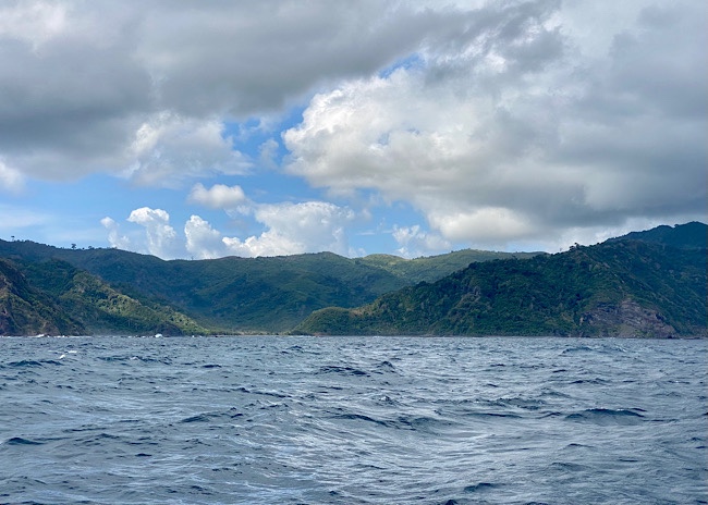
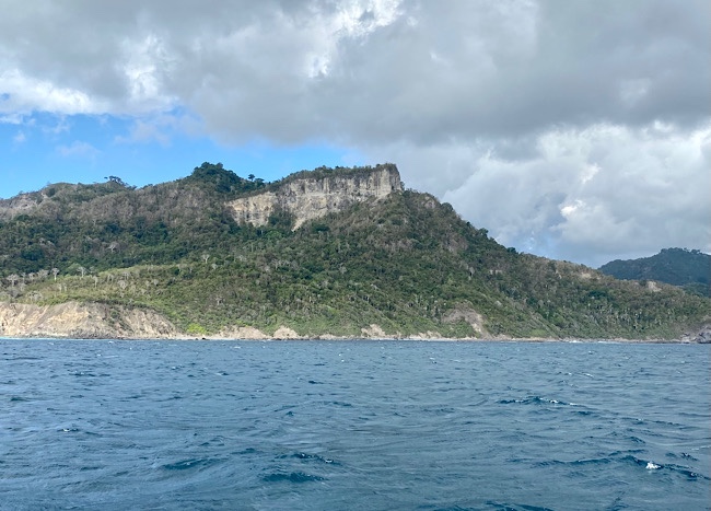
We did not expect Indonesia to be so mountainous (looks like the pacific coast of Mexico) rather we thought it would be more tropical.
Anchor was dropped around 4pm, as we rest on our way to Lombok.
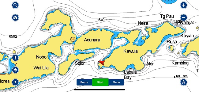
We anchored where the red arrow is, stopped before sunset. Our destination Larantuka, is the anchor.
Sunday August 29-Day 27, Total nautical miles traveled 3394, 41 nautical miles traveled in the past 24 hours.
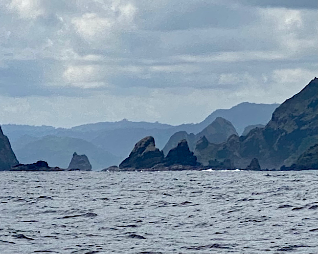
On the northern end of Kawula (Lomblen). As seen from where we anchored.
Lawmakera on Solor island
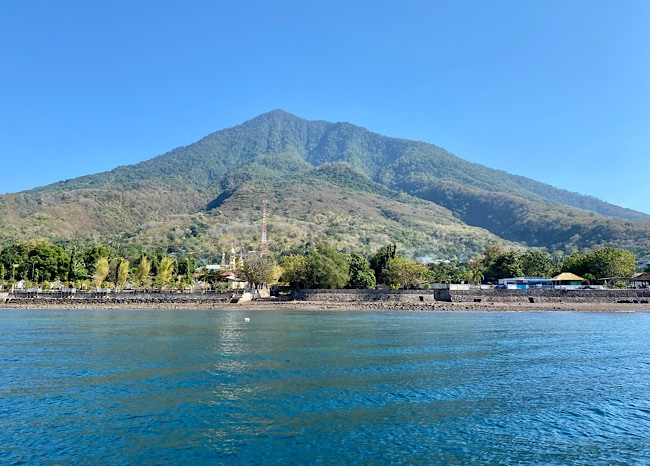
Larantuka, has a rich Catholic history, probably the only Catholic city in Indonesia.
We are now in the same time zone as Perth, Australia, UTC+8, 7pm Sunday here in Larantuka, 7am Sunday in Philadelphia. Officially half way around the world time wise!
Monday August 30-Day 28, Total nautical miles traveled 3413, 19 nautical miles traveled in the past 24 hours.
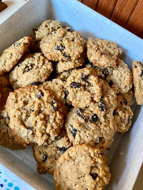
The afternoon was spent baking cookies for dessert tonight. It takes a while on the boat as the oven is small and only 6 cookies are baked at a time. We had dinner with Ohana on their boat, it was a wonderful evening!
Tuesday August 10-Day 8, Happy Birthday Rachael! Total nautical miles traveled 1013, 177 nautical miles traveled in the past 24 hours.
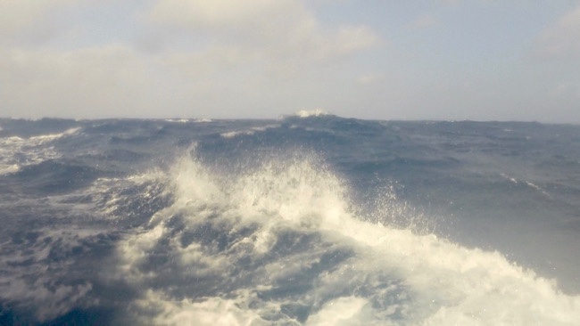
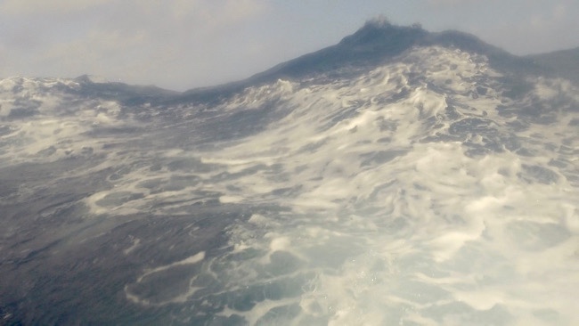
Waves don’t look as big in photos. Don’t you wish sometimes the camera could sees the view your eyes see?
Wednesday August 11-Day 9, Total nautical miles traveled 1189, 176 nautical miles traveled in the past 24 hours.
TRANCE is in the Coral Sea now, which means after a total 21,200 nm on this voyage, we’ve completed the crossing of an ocean! We’ve done the largest, the Pacific Ocean. Next is the Indian Ocean
Thursday August 12-Day 10, Happy Birthday Maddie! Total nautical miles traveled 1346, 157 nautical miles traveled in the past 24 hours. For breakfast Dan made eggs with homemade hash browns. Back in Denarau, when we ordered produce from FarmBoy, I had requested 3kg potatoes. That’s more than 7lbs! Needless to say, we’ve been eating lots of potatoes cooked various ways. Today I’m going to make a pot of homemade potato soup. The batch will be enough for two meals.
Our buddy boat received their visas for Papua New Guinea today, they “know people” there who were able to get the documents for them. Now they heading north, hopefully we’ll meet up with them in Lombok. Meanwhile our friends on s/v Falbala have not departed New Caledonia yet. Our last communication with them, they said possibly leaving Friday for Lombok. They were delayed by weather.
We are now on Brisbane, Australia time GMT+10, 11:30am Thursday, that’s 9:30 pm Wednesday, Philadelphia time.
Friday August 13-Day 11, our buddy boat was denied entrance to Papua New Guinea even with their visas, more documents were required. They are continuing on with us to Lombok. Also, Falbala has departed New Caledonia this morning.
Total nautical miles traveled 1512, 166 nautical miles traveled in the past 24 hours.
Another failed stainless steel weld. This post is part of the aft pulpit on the transom. Dan securely tied it to the swim ladder.
Numbers, it’s all about numbers, distance, miles, the wind. A few days back, birds broke our wind instrument that was mounted on top of the mast. Since then we’ve had no measurement of wind speed. In away, for me, this has been a good thing. No stressing over the wind number. I do believe it’s been significant the past several days. Tonight as the wind howls through the boat rigging and our speed over ground hits 9.2 knots with triple reefed main and genoa sails, not surfing down a wave, kinda glad I didn’t know the wind speed number.
Saturday August 14-Day 12, Total nautical miles traveled 1684, 172 nautical miles traveled in the past 24 hours.
GoPro snapshots, with camera attached to the boat, taken 12 52.720 S, 149 35.240 E, 11:30am GMT+10
Sunday August 15-Day 13, Total nautical miles traveled 1864, 180 nautical miles traveled in the past 24 hours!
Extremely windy day up to 43knots (per Ohana)with 10-12ft waves, ugh! 5 times today a wave crashed into the cockpit. One entered over the stern. Several waves hit the enclosure panels but didn’t actually enter the cockpit.
More GoPro shots
Monday August 16-Day 14, Total nautical miles traveled 2043, 179 nautical miles traveled in the past 24 hours.
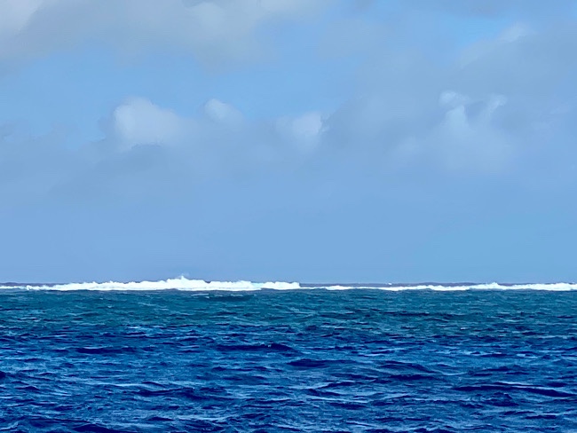
On the 14th day we rested! The anchor was dropped around 4pm inside The Great Detached Reef, at the the edge of the reef on eastern side. With the winds still in the 20’s it was a bit rolly, yet the reef blocked the ocean waves. The waves crashing on the reef sounded like waves crashing on a beach.
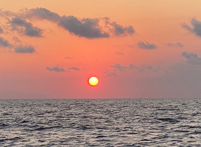
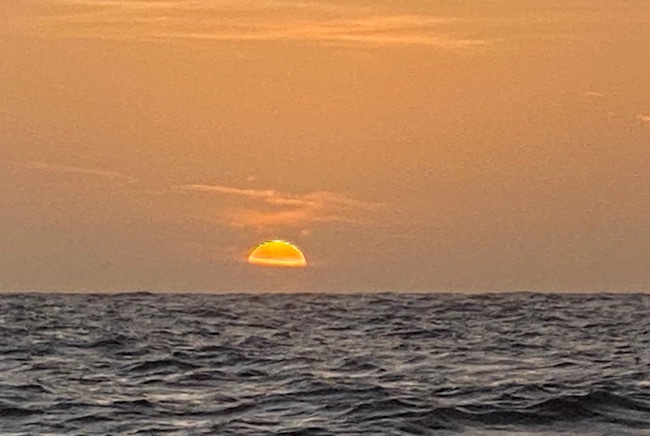
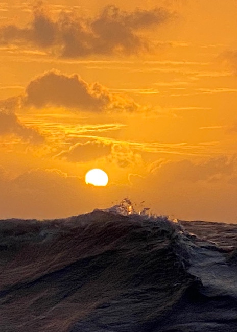
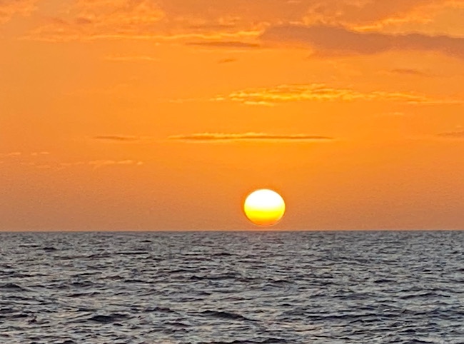
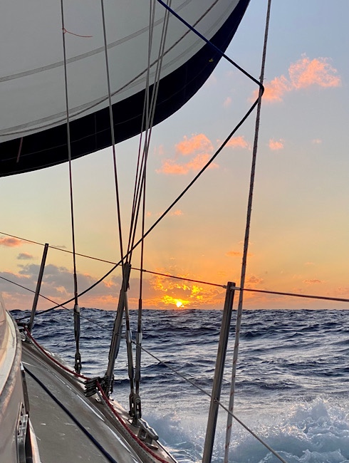
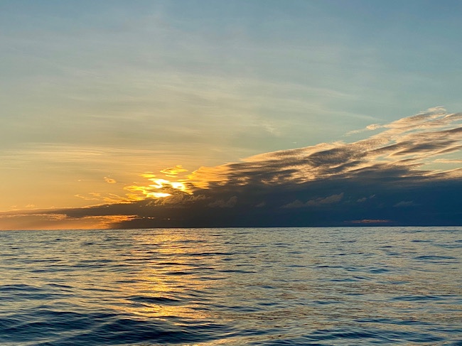
Our last Pacific Ocean sunset
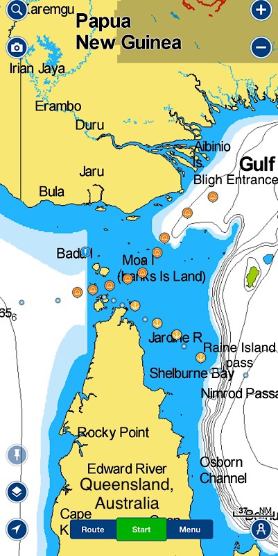
Tomorrow we begin the journey through the Torres Strait over The Great Barrier Reef. Previously had we contacted the Australian Border Force, and were given free passage through the Torres Strait with permission to seek safe anchorage, except near Thursday Island. Conditionally, making landfall or coming in contact with any other vessel is prohibited. Our passage will be the Raine Island route, not through the shipping channel. This track is 178 nautical miles. Along with s/v Ohana, we plan to anchor each night.
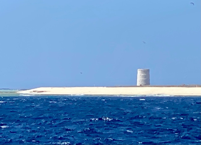
We purchased a book titled “Ken’s Torres Strait Passage Guide”. It’s 50 pages of mostly maps with navigation waypoints that meander around reefs and islands. Raine Island marks a navigable entrance to the Great Barrier Reef. There are 71 islands within the reef, 17 are inhabited. There are also a multitude of reefs.
The blue dots and anchors is the route we’re taking. The circles with the bells is the northern shipping channel.
Reef Ranger, Australian Border Patrol boat cruising by. This boat is similar to the one the Canadian Mounties had when they came to visit us.
Tuesday August 17-Day 15, Total nautical miles traveled 2091, 48 nautical miles traveled in the past 24 hours.
7 am, partial fog and little sun, barely being able to see the reef. The anchor came up cleanly then the wind gently pushed us backwards safely away from the edge of the reef. A trip line was attached to the back of anchor before it was deployed. It assists in pulling the anchor up and out of its holding in case it was stuck on something.
3:30pm Second anchorage, Collette Reef 11° 13.430′ S 143° 21.236′ E, 31 ft of water.
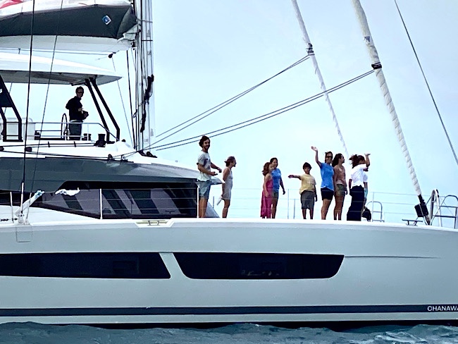
Ohana on deck!
Australia Boarder Force Aircraft called both of us with questions regarding last port, next port where our boats are registered.
*Sourdough Notes* another Belle loaf in the works. This loaf as well as the last, I did a mixture of flours, 5 parts bread flour 1 part of a flour purchased in Tahiti. It’s a high protein flour, looks like it’s part wheat flour. The label is in French, when I googled the brand it says it’s pizza dough flour. It worked well for the last loaf.
Very unpleasant night! Lots of wind waves crashing over the reef we were rocking and rolling all night long!
Wednesday August 18-Day 16, Total nautical miles traveled 2166, 75 nautical miles traveled in the past 24 hours.
7:15 anchor up. It was a bit more difficult than yesterday, the anchor was stuck on coral.
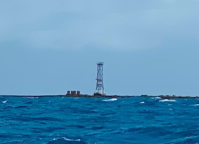
Light on Wyborn Reef
Albany light at the northern most point of Australia.
Light on Eborac Island
We traveled nortwest till 4:30pm, anchored near York Island and a beautiful beach. It’s quite windy around 25knots, it’s an off shore breeze so there are minimal waves. Much more pleasant than last night.
Thursday August 19-Day 17, Total nautical miles traveled 2214, 48 nautical miles traveled in the past 24 hours.
Anchor up by 7:15 am amidst 37.5 knots of wind, per Ohana. A little Change of plans. Instead of going towards Thursday Island, which requires snaking through islands and a narrow pass with lots of current, we are going down the Prince if Wales shipping channel to anchor at Goods Island.
Our friends on Ohana have a child with a disability that requires life saving drugs. They have arranged throughout the world on their journey to have medication shipped to various places. With the assistance of an agent, they were able to have it delivered to Australia, which is currently closed. When we stop at Goods Island, they were greeted by a pilot boat to deliver the drugs to them. In addition, they also requested to purchase produce. Ohana asked us we’d like some also, we gave them a short list of what we’d like. Grateful for that!
Wednesday Island, light at Ince Point
Hammond Rock marked the with a light near the edge of the channel. As we passed the rock the current was ripping by, the boat turned sideways going at times 8 knots speed over ground. The engine was turned on to get back on course, doing 9.7 SOG, 3.5 knots of current. Reminiscence of “Hells Gate” on the East River in NYC.
Mecca Reef (always fun finding a familiar name!)
Friday August 20-Day 18, departed Good Island by 7am along with s/v Ohana. It was nice break to stop each night after the big winds we had the weeks before.
Total nautical miles traveled 2240, 26 nautical miles traveled in the past 24 hours.
It was a pretty calm day, sailing 4-6 knots. By early afternoon we exited the Torres Strait to the Arafura Sea.
Saturday August 21-Day 19, Total nautical miles traveled 2380, 140 nautical miles traveled in the past 24 hours.
Look what’s behind us, scary sky! Then it slid north we only received a little bit of rain.
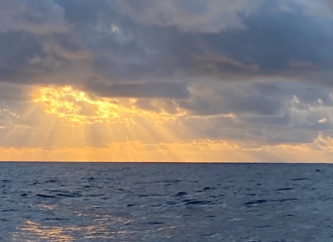
Sunset
Sunday August 22-Day 20, Total nautical miles traveled 2517, 137 nautical miles traveled in the past 24 hours.
Time change, we are now in the same zone with Seoul, South Korea, GMT+9. It’s 8:00am Sunday, 7pm Saturday in Philadelphia.
Shortly before 1:30pm, Ohana received a radio call from Australia Border Force Aircraft requesting their location and asked if Trance was still sailing with them. 20 minutes later we both had another flyby. They are following our progress through Australian waters.
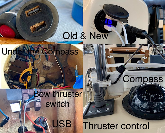
Fix- it Sunday. iPhone and iPad charging has been challenging. Charging cables frequently fail and we purchase new ones, guess it’s the salty and humid environment. The marine USB port Dan installed on the side of binnacle rusted, it was replaced. Access to the electronics is under the compass. A switch for the bow thruster is also there. Dan found a loose wire on a screw, maybe that’s why the thruster wasn’t working properly. It would turn off at the wrong time or turn the chart plotter off, requiring jiggling the joystick to get it to turn on again.
Monday August 23-Day 21, Total nautical miles traveled 2655, 138 nautical miles traveled in the past 24 hours.
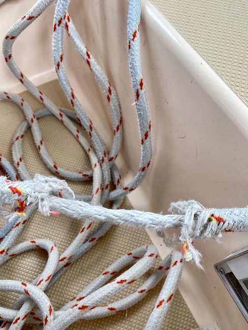
There is always something that needs to be fixed. The Genoa sheet, chaffed. On a boat, ropes cut to a length for a purpose are called “lines”. Lines attached to control a sail are referred to as a “sheets”. Dan removed it from the sail and cut off about 3ft and reattached it to the sail.
We received word today that Indonesia is closed once again to foreigners due to a surge in COVID cases. Our agent told us we can stop there as a transient for fuel and provisions. We will not be allowed to get off our boat. This will be a short rest before crossing the Indian Ocean.
Tuesday August 3-Day 1, Happy Birthday Max! We departed Denarau at 10:30am along with s/v Ohana, US flagged vessel from in Argentina, a catamaran with 5 adults and 6 kids onboard, for Lombok Indonesia. Hopefully we will be together with them for countries west, too.
Sunset 6:01pm 17° 35.981′ S 176° 31.838′ E
Oh my the stars, the Milky Way, the Southern Cross!
Wednesday August 4-Day 2, Nautical Miles traveled 156 in the past 24 hours.
Wing on wing on wing AWA 150, SOG 5.5, TWS 11.5knots COG 270 17° 20.708′ S 174° 30.440′ E
Sunset 6:11pm 17° 16.302′ S 174° 5.091′ E The night sky was spectacular!
Thursday August 5-Day 3, Total nautical miles traveled 276, 120 nautical miles traveled in the past 24 hours.
The sky is quite gray this morning with rain in front of us only to pass with blue skies behind it.
Sunset Vanuatu Standard Time 5:20pm 16° 49.121′ S 172° 3.564′
Friday August 6-Day 4, Total nautical miles traveled 403, 127 miles traveled in the past 24 hours.
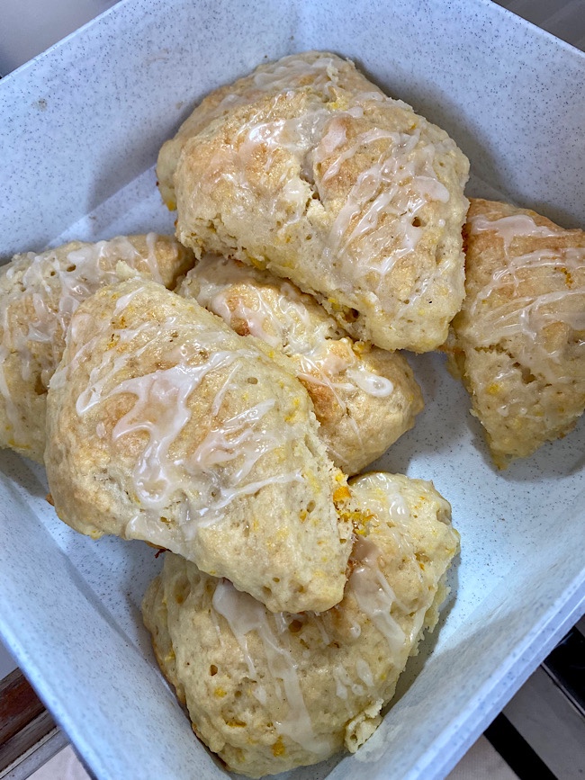
Baking day…banana bread, orange scones with an orange glaze, peanut butter protein bars, started a loaf of sourdough bread. Also diced and put into containers to use later, green peppers, red peppers and onions. When the wind is light it is easier to do these things.
While I was baking…
Banana bread
Orange scones
Peanut butter bars
The protein bars tasted better than they look. 1 cup peanut butter, 1 cup of honey, in a medium saucepan melt together over low heat till blended, add 3 cups of oatmeal and/or anything else you’d like to add like chocolate chips or raisins. Spread in a rectangle or square dish chill til firm,a couple of hours or overnight, then cut into bars or squares.
We heard from our friends on s/v Roxy. They departed Raiatea, French Polynesia in June for Reunion Island. They are now 10 days away. 8182 nm done and 58 days at sea. Wow!
Winging it through the night! AWA 170, we don’t like to fly the spinnaker at night.
Saturday August 7-Day 5, Total nautical miles traveled 532, 129 nautical miles traveled in the past 24 hours.
*Sourdough Notes* baked a Belle loaf, ah the aroma of baking bread first thing in the morning!
We sailed through the the islands of Vanuatu. There is an active volcano on the island of Ambrym. However as we sailed past it, the mountain top being cloud covered, we couldn’t see anything. The island country is currently COVID closed.
Sunday August 8-Day 6, total nautical miles traveled 687, 155 nautical miles traveled in the past 24 hours.
At night the water sparkled as we sailed through it. We haven’t seen bioluminescence since Southern California. It is very dark at night as there is no moon at night right now, so the sparkling was very brilliant.
I head a strange noise at night while I’m on watch. Sounds like sparks. I go down into the cabin, while reaching for the ceiling light I step on something slippery. Here a fish, about 9 inches long, flew into the cabin and was flopping around on the floor. I managed to pick it up and throw it overboard. Crazy flying fish!
Monday August 9-Day 7, Total nautical miles traveled 836, 149 nautical miles traveled in the past 24 hours.
Boat speed and true wind speed are the same. True wind speed is a calculation. Boat speed is correct…. a problem with wind speed.
Upon further investigation, we believe a bird (they’ve been dive bombing the boat the last two days) flew into and broke the apparent wind speed instrument at the top of the mast. One was actually sitting up there. Luckily, the wind direction indicator still works.
We’ve asked our buddy boat s/v Ohana to relay the wind speed periodically, which is now in the low 20’s knots, and expected to increase around 25 for several days.
8:15am, Currently sailing 7knots with triple reefed Main and Genoa. TWD 141, COG 275, 6ft waves.
For dinner this evening we had a one pot meal of sautéed potatoes with red and green peppers, onions, garlic and steak cut into bite size pieces. It’s easier having your meal in a bowl than on a plate.